Revision of 1935
Ordnance Survey (England, Scotland, Wales)
Category
Maps
Date
1935
Materials
Measurements
740 x 1010 mm
Order this imageCollection
Quarry Bank, Cheshire
NT 1461479
Summary
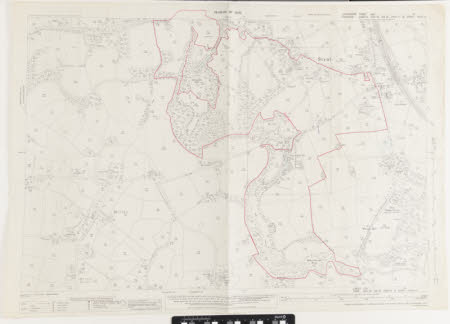
An Ordnance Survey map showing the village of Styal and part of the Morley area. The parishes of Styal and Wilmslow have been renumbered for this edition. Part of the map has a hand-drawn border in red ink, surrounding the areas occupied by Quarry Bank Mill, Oak Farm, Oak Cottages, Farm Fold, Cross Farm, and Willow Ground Wood. Quarry Bank House is not included within this border.
Marks and inscriptions
Reverse: '212'
Makers and roles
Ordnance Survey (England, Scotland, Wales) , cartographer
