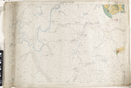
A Pair of Maps of the Morley Green area:1898. Sheet number XXVII.4
Ordnance Survey (England, Scotland, Wales)
Category
Maps
Date
1898
Materials
Textile
Measurements
720 x 1055 mm
Order this imageCollection
Quarry Bank, Cheshire
NT 1453392
Summary
A pair of Ordnance Survey maps of the Morley Green area, dated 1898. Scale 1/2500. Sheet number XXVII.4, a. on paper b. on linen backed paper with green binding around 3 edges.
Marks and inscriptions
On back:
Makers and roles
Ordnance Survey (England, Scotland, Wales) , cartographer
