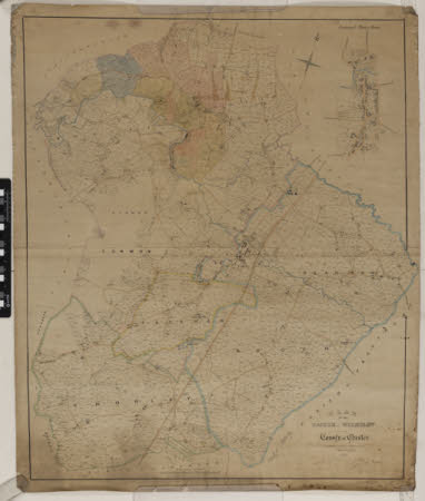
Parish of Wilmslow, 1840
James Cawley
Category
Maps
Date
Unknown
Materials
Paper
Measurements
860 x 1025 mm
Place of origin
Macclesfield
Order this imageCollection
Quarry Bank, Cheshire
NT 1453389
Summary
A coloured plan of the Parish of Wilmslow dated 1840, drawn by James Cawley, Surveyor, Macclesfield, with the Greg estates identified by different colours. At the top right hand corner is an enlarged plan of Wilmslow town centre. Annotated in pencil along the top is 'R.H. Greg'.
Marks and inscriptions
On back:
Makers and roles
James Cawley, surveyor
