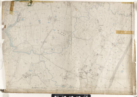
Map of the Styal area, Cheshire
Ordnance Survey (England, Scotland, Wales)
Category
Maps
Date
Unknown
Materials
Paper
Measurements
700 x 975 mm
Order this imageCollection
Quarry Bank, Cheshire
NT 1453386
Summary
An Ordnance Survey Map of the Styal area, dated 1898, showing Quarry Bank Mill in the north west corner, Pownell Hall in south west, Lacey Green and Hilltop in the south east and Handforth Bridge in the north east. Scale 1/2500, price 3/-.
Marks and inscriptions
On back:
Makers and roles
Ordnance Survey (England, Scotland, Wales) , cartographer
