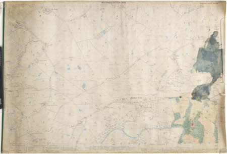
Map of the Styal area, Cheshire
Ordnance Survey (England, Scotland, Wales)
Category
Maps
Date
Unknown
Materials
Textile
Measurements
710 x 1015 mm
Order this imageCollection
Quarry Bank, Cheshire
NT 1453385
Summary
A black and white, linen backed, surveyor's map of the Styal area dated 1898, price 3/-, scale 1/2500 with water coloured "blue" and Norcliffe Hall marked out in "green", and "red" for the buildings. The map shows from the crossroads of Back Lane and Pinfold Lane in the west to Styal Cross in the east, Yewtree Lane in the north to the River Bollin in the south.
Marks and inscriptions
On back:
Makers and roles
Ordnance Survey (England, Scotland, Wales) , cartographer
