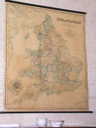
Map of England and Wales
Stanford's Ltd.
Category
Maps
Date
1883
Materials
Paper and canvas.
Measurements
158 x 143 mm
Place of origin
London
Order this imageCollection
Penrhyn Castle, Gwynedd
NT 1421719
Summary
Wall map. A large wall map of England and Wales on a cloth backing, published on behalf of the SPCK and The National Society by Stanford's Geographical Establishment of London and dated June 1st 1883. A length of moulding is pinned to the top and a roller to the bottom.
Makers and roles
Stanford's Ltd. , publisher
