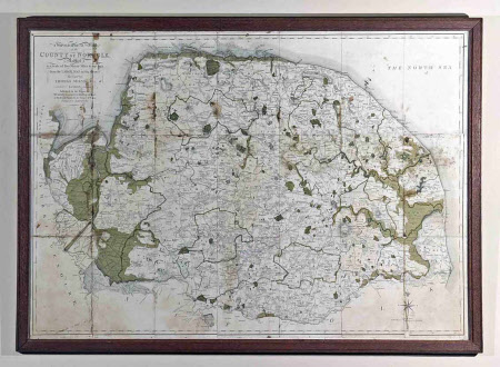
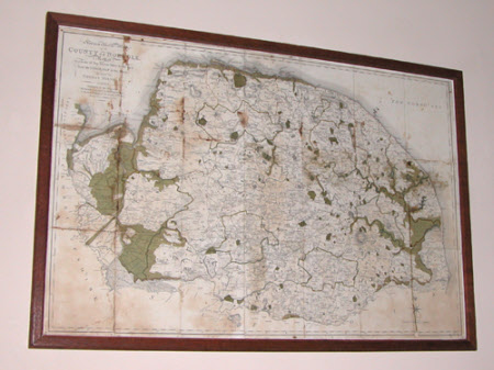
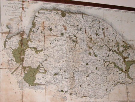
Map of Norfolk 1803
Thomas Milne (fl.1791-1840)
Category
Maps
Date
1803
Materials
Paper
Measurements
645 mm (H)950 mm (W)595 mm (H)895 mm (W)590 mm (H)890 mm (W)
Order this imageCollection
Felbrigg, Norfolk
NT 1400351
Summary
Map of Norfolk 1803, surveyed by Thomas Milne. Framed. 'Topographical Map of County of Norfolk, Reduced to a scale of Two Statute Miles to one inch'. Notes of breaches to beaches and cliffs prior to Summer 1792. Wooden frame, mounted and glazed.
Provenance
Part of the Windham Collection. The hall and contents were bequeathed to the National Trust in 1969 by Robert Wyndham Ketton-Cremer (1906-1969)
Makers and roles
Thomas Milne (fl.1791-1840)


