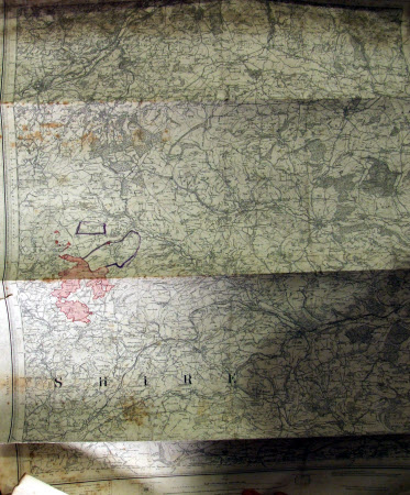
Map. Sheet 165 reprint 1897 showing Clun, Bishop's Castle and Montgomery
Ordnance Survey (England, Scotland, Wales)
Category
Maps
Date
1897
Materials
Paper
Measurements
760 x 535 mm
Order this imageCollection
Felbrigg, Norfolk
NT 1398266
Summary
An Ordnance Survey map. Sheet 165 reprint 1897 showing Clun, Bishop's Castle and Montgomery. Scale 1 inch to 1 mile. Uncoloured but with pink wash and purple line around farm holdings and grazing lands. Rolled.
Provenance
Part of the Windham Collection. The hall and contents were bequeathed to the National Trust in 1969 by Robert Wyndham Ketton-Cremer (1906-1969)
Marks and inscriptions
Scale ; 1 inch to 1 mile
Makers and roles
Ordnance Survey (England, Scotland, Wales) , cartographer
