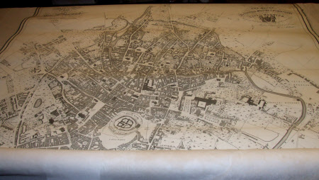
Map of the City of Norwich (after W. S. Willard and Joshua Manning)
J. Dallinger
Category
Maps
Date
1830
Materials
Paper, Textile, Wood
Measurements
1400 mm (H)1200 mm (W)
Order this imageCollection
Felbrigg, Norfolk
NT 1397917
Summary
Map. Plan of the City of Norwich. Surveyed by W. S. Willard and Josh Manning, Engraved by J. Dallinger 1830. To the Right Worshipful The Mayor, The Aldermen, Sheriffs and Commonalty of the City of Norwich, W. S Willard. Detailing Churches and Public Buildings. Scale of Chains. India paper on linen. Mounted on a wooden pole and a wooden batten.
Makers and roles
J. Dallinger, engraver (printmaker) W. S. Willard , surveyor Joshua Manning, surveyor
