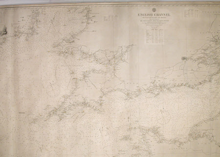
Nautical chart
Vissiere
Category
Manuscripts and documents
Date
Unknown
Materials
Canvas
Measurements
1014 mm (H); 1875 mm (W)
Place of origin
Le Havre
Order this imageCollection
Snowshill Manor and Garden, Gloucestershire
NT 1337959
Summary
Large rolled cartridge mounted on linen nautical chart of the Irish and English Channels. Vissiere, 16 Rue de Paris, La Havre. Title: 'ENGLISH CHANNEL THE COAST OF ENGLAND AND IRELAND FROM VARIOUS SURVEYS. THE COAST OF FRANCE FROM THE PILOTE FRACAIS'. NATURAL SCALE 1: 586,000. Base 'LONDON - Published at the Admiralty 1st July 1859 under the Superintendance of Capt Washing RNFRS Hydrographer. Corrected to Sept 1868. July 69, Sept 69, April 1970. Aug 72. Engraved by J and C Walker. 26 7SA. 'Sold by J D Potter Agent for the Admiralty.' Navigation marks in yellow and red. Two labels o reverse relating to a supplier and with further detail of chart. Brief prepared by 'James Imray and Son 1st July 1876'.
Provenance
Given to the National Trust with Snowshill Manor in 1951 by Charles Paget Wade.
Makers and roles
Vissiere
