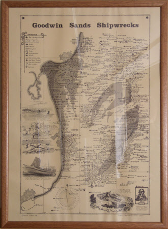
Nautical map
J. Larney
Category
Art / Prints
Date
1985 (published date)
Materials
paper
Measurements
617 x 440 mm
Place of origin
Cornwall
Order this imageCollection
South Foreland Lighthouse, Kent
NT 1286666
Summary
Map of Goodwin Sands, showing historical shipwrecks in the area.
Marks and inscriptions
Printed on front: COPYRIGHT PLANASHIP 1985 / PLANASHIP MARITIME PUBLICATIONS / CORNWALL
Makers and roles
J. Larney, mapmaker Planaship Maritime Publications , engraver and publisher
