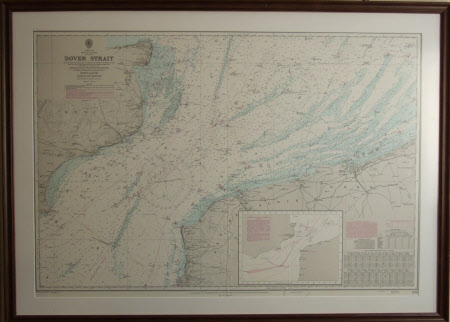
Map of the Dover Strait
Admiralty
Category
Maps
Date
3 Sep 1976 (third edition published date)
Materials
paper
Measurements
675 x 980 mm
Place of origin
London
Order this imageCollection
South Foreland Lighthouse, Kent
NT 1286665
Summary
Admiralty map of Dover Strait. Mounted and framed.
Marks and inscriptions
Printed on front: London Published at the Admiralty, 16th October 1959, under the Superintendence of Rear Admiral K. St. B. Collins, C.B., O.B.E., D.S.C., Hydrographer / Crown Copyright 1976 / New Editions 3rd Sept 1976
Makers and roles
Admiralty, engraver and publisher
