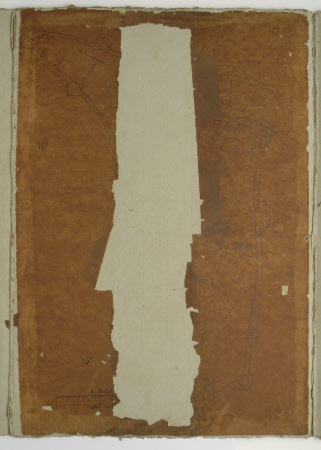
Ground map/plan of Corfe Castle, Dorset
Ralph Treswell (c.1540 - 1616)
Category
Maps
Date
Unknown
Materials
Card, Paper
Measurements
490 mm (Length)347 mm (W)
Order this imageCollection
Kingston Lacy Estate, Dorset
NT 1253057
Summary
Ground plan of Corfe Castle, to scale, by or after Ractus Treswell. Paper discoloured but watermarked, central part of the map is missing; mounted in green card folder,in ink on verso of folder in WJB's hand is an ink sketched outline containing text as follows 'Jan 7 1824 Near the SW angle of the Queens tower many stones have fallen down, among which there are four which are faced thus and seemed to have formed part of the upright of a door or window. This was traced from one of the stones laid on the paper.'
Makers and roles
Ralph Treswell (c.1540 - 1616), maker
