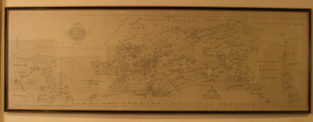
Map of Parte of the Lordship of Little Bookham, Surrey
John H. Harvey
Category
Maps
Date
1938
Materials
paper
Measurements
520 mm (H)1585 mm (W)560 mm (H)1625 mm (W)
Place of origin
Surrey Record Office
Order this imageCollection
Polesden Lacey, Surrey
NT 1246340
Summary
A copy of an old map in a black and gold frame. Copied by John H. Harvey in 1938.
Marks and inscriptions
Plan of Great Bookham, Surrey. Surveyed 1615 - 1618. From the original belonging to the National Trust, by Thomas Clay. / Copied by John H. Harvey. 1938 (inscribed on front)
Makers and roles
John H. Harvey, draughtsman
