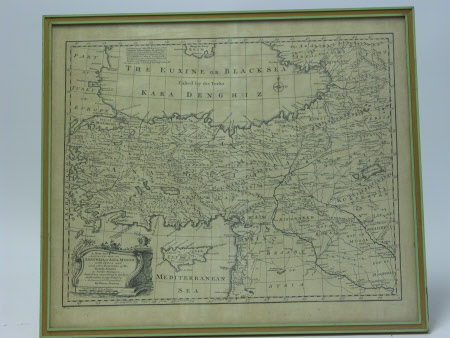
Map of Anatolia or Asia Minor
Emanuel Bowen (1714-1767)
Category
Maps
Date
Unknown
Materials
Paper, Wood
Measurements
430 mm (H)550 mm (W)410 mm (H)520 mm (W)12 mm (D)
Order this imageCollection
Greenway, Devon
NT 121717
Summary
Map of Anatolia and Asia Minor. Removed from frame 2.11.2007. Frame discarded.
Marks and inscriptions
'A new and accurate map of Anatolia or Asia Minor with Syria, and other provinces of the Turkish Empire as border thereon. Laid down according and regulated by Astronomical Observations by Emman Bowen.'
Makers and roles
Emanuel Bowen (1714-1767)
