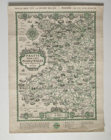
Map of Wales with Neighbouring Counties
A. E. Taylor
Category
Maps
Date
1932
Materials
paper
Measurements
505 mm (H); 380 mm (W)
Order this imageCollection
Erddig, Wrexham
NT 1150002
Summary
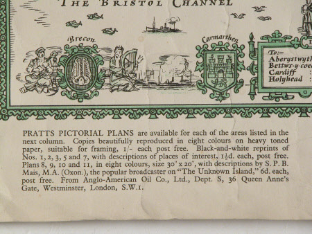
Advertisement - Print (black and green). Advert for Pratts and for Essolube. Map of Wales with roads and main towns shown and also illustrated. Table of distances from London. Pencil sketch on reverse. Unframed.
Provenance
Given by Philip Yorke III (1905-1978) along with the estate, house and contents to the National Trust in 1973.
Makers and roles
A. E. Taylor, artist

