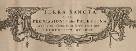
Map of the Holy Land Promissioris, olim Palestina
Frederick de Wit (1629/30 - 1706)
Category
Maps
Date
Unknown
Materials
paper
Measurements
555 mm (H); 640 mm (W)
Order this imageCollection
Erddig, Wrexham
NT 1149999
Summary
Map - Print; Engraving. Map of the Holy Land with inset showing the Tribes of Israel and the Tabernacle. Title/artist in Latin within decorated cartouche held by garlands and putti. Unframed. Map of the Holy Land Promissioris, olim Palestina
Provenance
Given by Philip Yorke III (1905-1978) along with the estate, house and contents to the National Trust in 1973
Makers and roles
Frederick de Wit (1629/30 - 1706), artist

