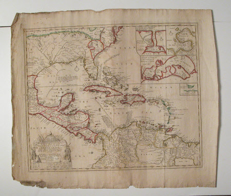
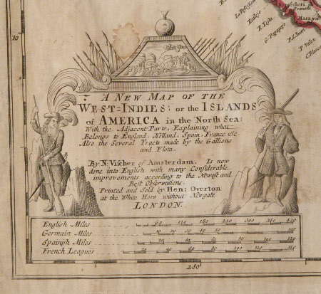
A New Map of The West-Indies; or the Islands of America in the North Sea
Nicolaes Visscher (1618-1679)
Category
Maps
Date
Unknown
Materials
paper
Measurements
563 mm (H); 650 mm (W)
Order this imageCollection
Erddig, Wrexham
NT 1149994
Summary
Map - Print; Engraving with colouring. Map of part of mainland America (Florida etc), Mexico and principality the West Indian islands. Trade routes marked and described. Insets of main ports in the islands. Unframed. A New Map of The West-Indies; or the Islands of America in the North Sea
Provenance
Given by Philip Yorke III (1905-1978) along with the estate, house and contents to the National Trust in 1973
Marks and inscriptions
Title etc. 'Printed and Sold by Hon. Overton at the White Hors without Newgate London.'
Makers and roles
Nicolaes Visscher (1618-1679), artist

