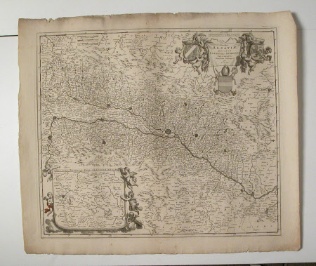
Map of Alsatiae
Frederick de Wit (1629/30 - 1706)
Category
Maps
Date
Unknown
Materials
paper
Measurements
560 mm (H); 650 mm (W)
Order this imageCollection
Erddig, Wrexham
NT 1149991
Summary
Map - Print; Engraving. Insert with detail of area around Zweibrucken. Unframed. Map of Alsatiae
Provenance
Given by Philip Yorke III (1905-1978) along with the estate, house and contents to the National Trust in 1973.
Marks and inscriptions
Title flanked by putti supporting coats of arms, papal shield below.
Makers and roles
Frederick de Wit (1629/30 - 1706), artist

