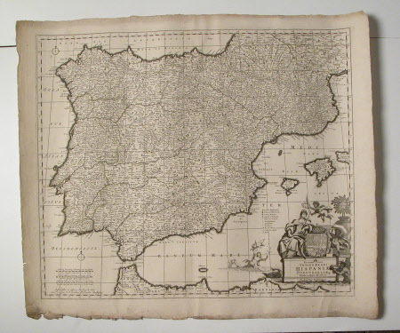
Map of Spain and Portugal (Hispaniae and Portugalliae)
Frederick de Wit (1629/30 - 1706)
Category
Maps
Date
Unknown
Materials
paper
Measurements
565 mm (H); 660 mm (W)
Order this imageCollection
Erddig, Wrexham
NT 1149987
Summary
Map - Print; Engraving. of Queen attended by putti. Map of Spain and Portugal. Unframed. Map of Hispaniae and Portugalliae
Provenance
Given by Philip Yorke III (1905-1978) along with the estate, house and contents to the National Trust in 1973
Marks and inscriptions
Title in Latin. Decorated cartouche surmounted by Royal (Spanish?) Coat of Arms flanked by figure
Makers and roles
Frederick de Wit (1629/30 - 1706), artist

