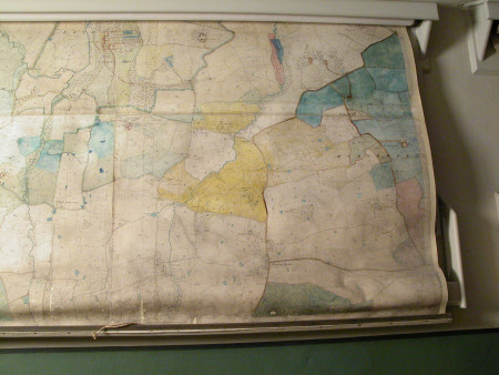
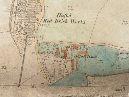
Map of Marchweil and District, Denbighshire
Ordnance Survey (England, Scotland, Wales)
Category
Maps
Date
1899
Materials
Paper
Measurements
2010 mm (W)
Order this imageCollection
Erddig, Wrexham
NT 1149894
Summary
Ordnance survey map - DENBIGHSHIRE SHEETS XXVIII.16/XXIX.13. Dated 1899 (Second Edition). Unframed.
Provenance
Given by Phillip Yorke III (1905-1978) along with the estate, house and contents to the National Trust in 1973
Makers and roles
Ordnance Survey (England, Scotland, Wales) , cartographer


