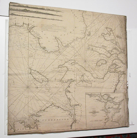
One of eight nautical charts including; 'Steels new Chart of the Coasts of Scotland', 1817'.
Category
Ephemera
Date
1817
Materials
Watercolour paint, ink, paper and leather
Measurements
630 mm (H); 595 mm (W)
Order this imageCollection
Erddig, Wrexham
NT 1146575.8
Summary
Map/Chart. One of eight maps and charts contained in a folio of marbled boards and a leather spine. Seven sheets mounted on scrim, plus one ink and wash plan, of fortifications with a French legend.
Provenance
Given by Phillip Yorke III (1905-1978) along with the estate, house and contents to the National Trust in 1973.
