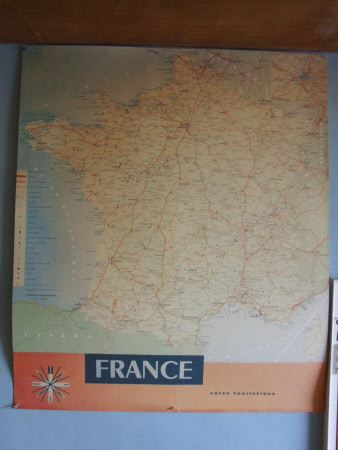
Road Map of France
A. Toubas
Category
Maps
Date
1960 - 1970
Materials
Card Ink
Measurements
1074 x 906 mm
Place of origin
France
Order this imageCollection
2 Willow Road, London
NT 112412
Summary
A printed card tourists' road map of France, published by French Government, cartographer A. Toubas, ED 60-116. With the map of the country to the top, underneath an orange band bearing a compass symbol, with alegend down the left hand side.
Provenance
Owned by Ernö Goldfinger and Ursula Ruth Blackwell, also known as Mrs Ernö Goldfinger. Purchased by the National Trust in 1994.
Marks and inscriptions
Beneath country.: "FRANCE" In orange band to bottom.: "carte touristique"
Makers and roles
A. Toubas, cartographer
