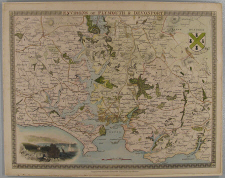
Map of the Environs of Plymouth, Devon
John Dower, FRGS (fl.1838-1846)
Category
Maps
Date
Unknown
Materials
Measurements
219 mm (H)278 mm (W)
Order this imageCollection
Fox Talbot Museum, Wiltshire
NT 1108572
Summary
hand coloured map of the Plymouth and Devonport region in the south of England; small image of the Plymouth Citadel in bottom left corner of map
Makers and roles
John Dower, FRGS (fl.1838-1846)
