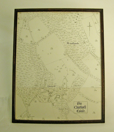
Map of the Chartwell estate, showing buildings, roads and vegetation c. 1950
Category
Maps
Date
1950
Materials
Glass, Paper, Wood
Measurements
366 mm (Width) x 20 mm (Depth); 436 mm (L)
Order this imageCollection
Chartwell, Kent
NT 1101420
Summary
A monochrome plan of the Chartwell estate, showing buildings, roads and vegetation c. 1950. Framed. 1967(?9) Schedule P.92
