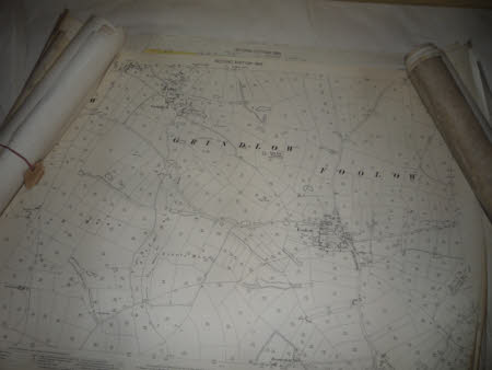
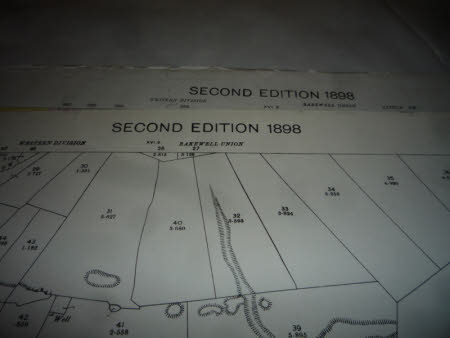
A 25" Ordnance Survey map of Grindlow and Foolow. Derbyshire Sheet XVI.6. 2nd edition of 1898.
Ordnance Survey (England, Scotland, Wales)
Category
Maps
Date
Unknown
Materials
Paper
Measurements
730 mm (Height)
Place of origin
Southampton
Order this imageCollection
Kedleston Hall, Derbyshire
NT 109506
Summary
A 25" Ordnance Survey map of Grindlow and Foolow. Derbyshire Sheet XVI.6. 2nd edition of 1898. Zincographed and published by the Ordnance Survey Office, Southampton in 1898. The map is printed on heavy paper.
Makers and roles
Ordnance Survey (England, Scotland, Wales) , creator


