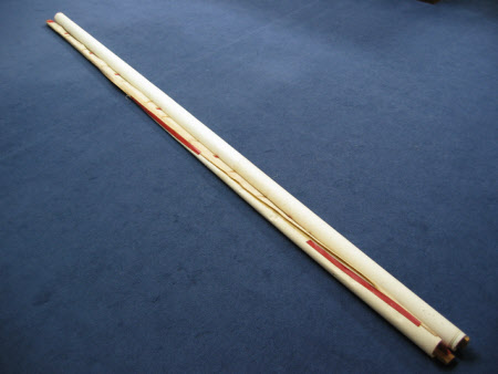
Map of Flax Bourton, Somerset
Ordnance Survey (England, Scotland, Wales)
Category
Maps
Date
Unknown
Materials
Paper and wood
Measurements
3030 mm (Height)
Order this imageCollection
Tyntesfield, North Somerset
NT 10534
Summary
A large paper map of Flax Bourton set on two wooden supports, one at each end.
Provenance
Purchased from the estate of the late Lord Wraxall with the assistance of the NHMF and donations from members and supporters.
Marks and inscriptions
FLAXBOURTON AND SURROUNDING AREAS / PRINTED AND PUBLISHED BY THE DIRECTOR GENERAL OF THE ORDINANCE SURVEY OFFICE (printed lettering on the map surface)
Makers and roles
Ordnance Survey (England, Scotland, Wales) , engraver and publisher
